
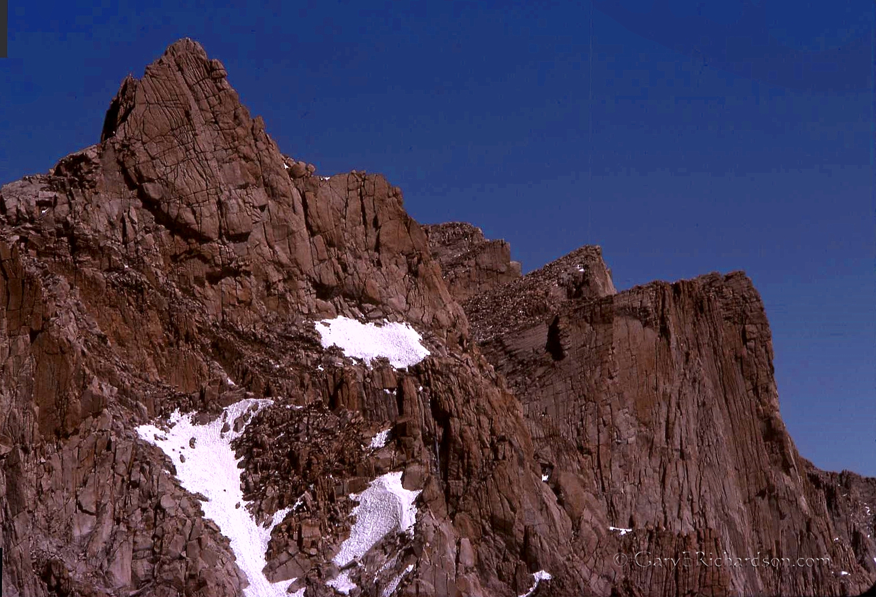
Approaching the Sierra crest after a night at Trail Camp: a series of switchbacks pass beneath the needles, or aiguilles, that line the crest south from Whitney summit to Mt. Muir, the 14,025′ peak immediately above the trail.

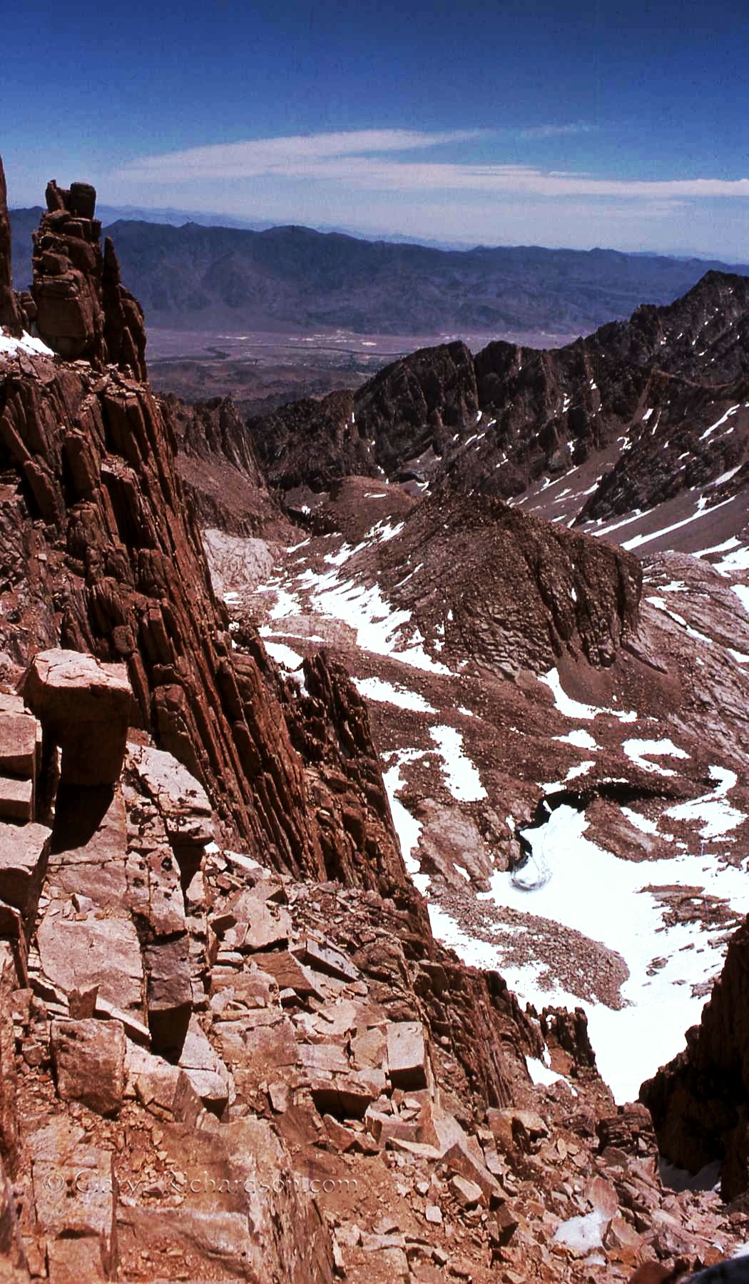
Looking back from Trail Crest down into the Owens Valley through Whitney Portal: The Owens River winds through the valley beyond the Alabama Hills and the trees of Lone Pine. Across lie the Inyo Mtns, with 10,668′ New York Butte. On the distant horizon, the Last Chance and Cottonwood mountain ranges disappear in dust blown up from the intervening Saline and Death valleys.

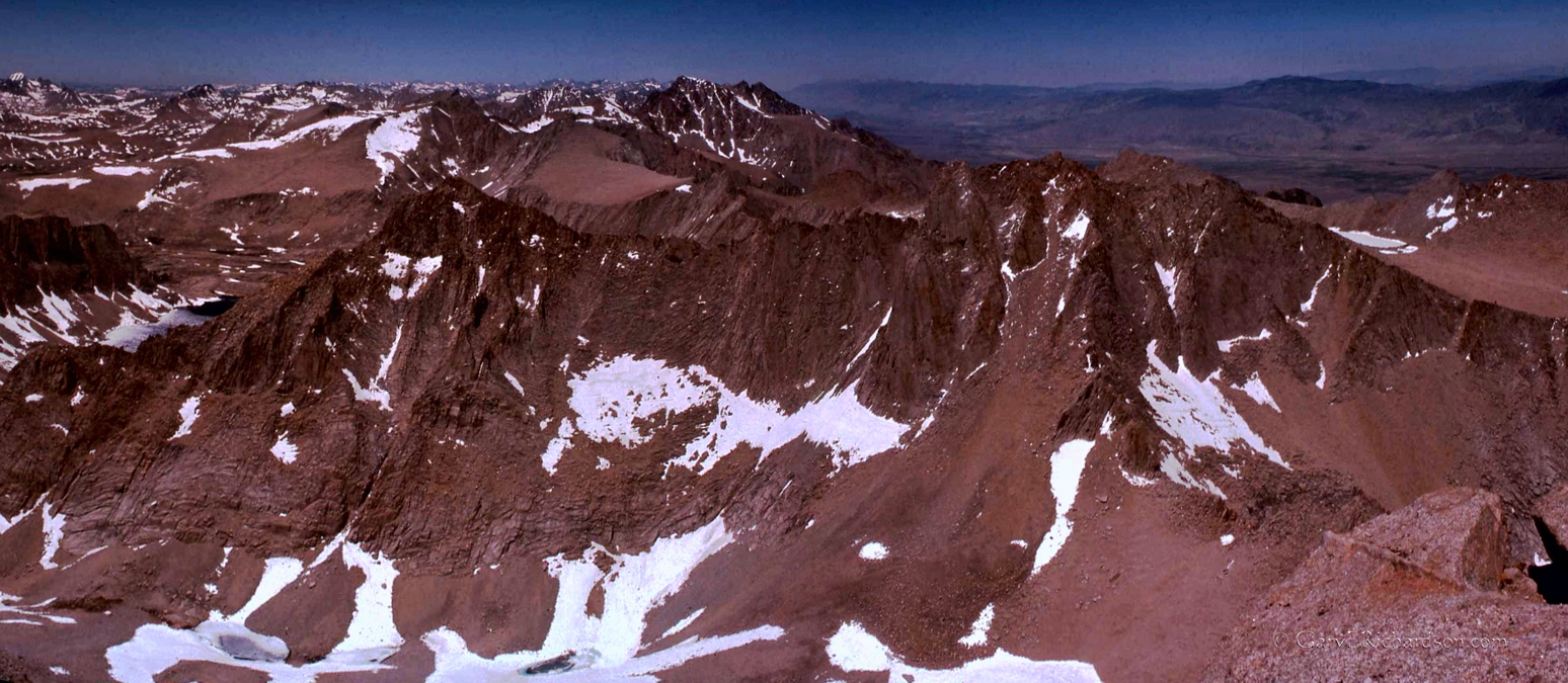
Looking west from the Whitney Trail Crest: The Hitchcock Lakes and 13,188′ Mt. Hitchcock. In the distance, Mt. Kaweah and the peaks of the Great Western Divide.
[http://www.flickr.com/photos/wattifoto/6179965484/in/photostream/ for a labeled view of the above peaks]

Looking east atop 14,495′ (then) Mt. Whitney (14,505′ now). Mt. Williamson, 5.5 miles distant, is at my elbow.
Looking north from Mt. Whitney:14,384′ Mt. Williamson (center) 5. 5 miles away. In the right foreground is 14,190′ Mt. Russell.

After climbing Mt. Whitney, then returning to Trail Crest, we hiked west, down to the John Muir Trail, then north across the Bighorn Plateau, over Shepherd Pass and back home to Independence, California.


Home in sight: Looking down Shepherd Creek from the pass, Independence straight ahead.

You must be logged in to post a comment.